Talk about ignoring the elephant in the room. When Minnesota environmental officials announced the results of a new major nitrogen pollution study on Thursday, they were surprisingly frank about how bad the problem is, but just as surprisingly hesitant to name a major underlying cause: federal farm policy. Continue Reading
The Minneapolis City Council June 14 passed the revised Above the Falls (ATF) plan for land use along the Mississippi River starting at Plymouth/8th Avenue NE.After a series of delays, the City Planning Commission and then the Council’s Zoning and Planning Committee approved the new plan after amending the language in the implementation chapter allowing industrial uses to remain, expand, and be modified until acquired for parks.Other language added design issues to the scope of the rezoning study that will be done after the plan is adopted: “The rezoning study should also include a review of the basic zoning tools impacting the riverfront district, including site plan review standards, Mississippi River Critical Area and Shoreland overlay standards, and the standards of those Zoning Districts found within the study area. If appropriate, the rezoning study might propose refinements to these zoning standards to bring them more in line with the goals of the Above the Falls Master Plan.”During earlier public meetings about the plan revision, two of the concerns raised were about GAF Company (next to and under the over-land portion of the Lowry Avenue Bridge’s west end), saying park and river access plans would negatively affect the business’ future; and by Northern Metals, claiming businesses had not been adequately involved in the process.On the flip side, others asked for more information about polluting industries and asked that they be moved out of the area more quickly. The staff report pointed out that more than 50 business interviews were conducted. Regarding pollution, while 160 companies on 300 sites in the area with potential to pollute are considered “active,” most have been operating within legal guidelines, the report says.While waiting for businesses to move from Sub-areas 5 and 6, since connectivity to the river is the goal, the parties involved should work on “short-term mitigation efforts, including greening and buffering of sites, to reduce negative impacts on the surrounding area,” the staff report states.Subarea 5 is between 26th and 31st, from the river to the railroad, and Subarea 6 is the railroad to Washington between 21st and 31st.The full Above the Falls (ATF) Master Plan Update can be found on line at www.ci.minneapolis.mn.us/www/groups/public/@cped/documents/webcontent/wcms1p-101581.pdf.The Minneapolis Park and Recreation Board has started its 45-day comment period on the plan; more info at www.minneapolis parks.org/abovethefalls.There are some interesting statistics in the staff report regarding the 6,097 jobs in the Above the Falls study area (2010, the most recent year available for the level of analysis).Around 190 jobs (3.1 percent) were held by residents of the two major North Minneapolis ZIP codes, 55411 and 55412. Around 254 jobs (4.2 percent) were held by residents of the three major Northeast Minneapolis ZIP codes 55418, 55413, and 55414.A total of around 786 jobs (12.6 percent) were held by Minneapolis residents in general. Continue Reading
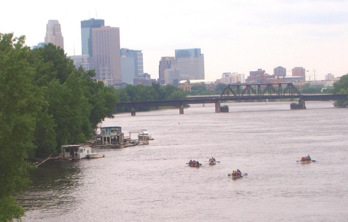
On June 14, 20 Hmong refugee students took a canoe trip down the Mississippi river. The trip began at Brooklyn Park’s River park, and ended at Minneapolis’ Boom island.Hmong canoeists heading towards downtown MinneapolisLearning how to paddleAlong the way, they saw bald eagles, heron rookeries, and turtles and snakes.Pushing offThey made a stopoff at North Mississippi Regional Park, where they learned more about the Mississippi river’s wildlife and ecology.Passing under the I-694 bridge over the Mississippi riverMost of the Hmong students came to the United States between 2004 and 2006 from Thailand’s Wat Tam Krabok refugee camp. All the Hmong students live in North Minneapolis, and all play soccer for Farview park. Many had never set foot in a boat before.Canoeing past the XCel power plant in northeast MinneapolisThe students had a great time, and many said they hoped to take more canoe trips and see more of Minnesota’s nature in the future.CelebratingThe canoe trip was sponsored by the Pohlad Foundation, and guided by Wilderness Inquiry. Continue Reading
This summer, signs will go up along the Mississippi River Trail announcing it’s newest designation – U.S. Bike Route 45. The nearly 3,000 mile interstate route begins at the headwaters of the Mississippi River in Itasca and ends at the Gulf of Mexico. According to maps from the Minnesota Department of Transportation, the route will run right through our backyard – just head down to the bike trail that runs along West River Parkway.
University of Minnesota alumna Siri Simons used to daydream in class about biking the Mississippi River Trail to gather stories from farmers about the future of farming in the Midwest.
Is there a view of the Mississippi River that every time you pass by it, you can’t help but stop for a moment and take it all in?The National Park Service wants to know what the view is and why you love it.A Plan to Protect Scenic ViewsNPS is collecting this information to inform the development of a Visual Resource Protection Plan that it is creating in partnership with the Mississippi River Parkway Commission. The plan will be used to guide efforts to protect and enhance the views along the Great River Road and the Grand Rounds Scenic Byway. Specifically, it will use the information to request funding to improve favorite overlooks and public access to scenic views, and to help determine the impact that future development projects will have on our visual resources.A national park in an urban setting is in a unique position. While it is charged with protecting the resources of the park, it also needs to work with developers and building projects. “NPS encourages sustainable development that does not impact important resources, which includes important views,” said NPS Park Planner Susan Overson. Continue Reading
Take a winter walking tour of Coldwater Spring, the new park located between Minnehaha Park and Fort Snelling, and you can catch a glimpse of the area’s storied past. If you’re lucky, one of our local historians will be on the tour and can point out the location of homes from a mid-1880s settlement or can talk about why Coldwater is considered by many to be the birthplace of Minnesota.National Park Ranger Nick Krasch leads a winter walking tour at Coldwater Spring.NPS Unveils a ParkWhen the National Park Service (NPS) took over the site in 2010, it was nothing close to what you would imagine a National Park to be. The land had been home to the Bureau of Mines, and when it was shuttered in 1996 its buildings were abandoned, even office equipment had been left behind. Buckthorn ran wild through masses of oaks, and Coldwater Creek disappeared into a steel culvert.NPS set out to restore the area, and its task list was long. Fortunately it had the help of many volunteers to transform the space into what it is today, and although the work isn’t done, the park has come a long way. Continue Reading
The new headquarters of the Mississippi River Management Organization (MWMO) is itself a demonstration of the river-friendly practices that the organization was established to encourage. The MWMO held an event on Saturday, October 26 to celebrate their new home, and to educate the public about water quality issues.